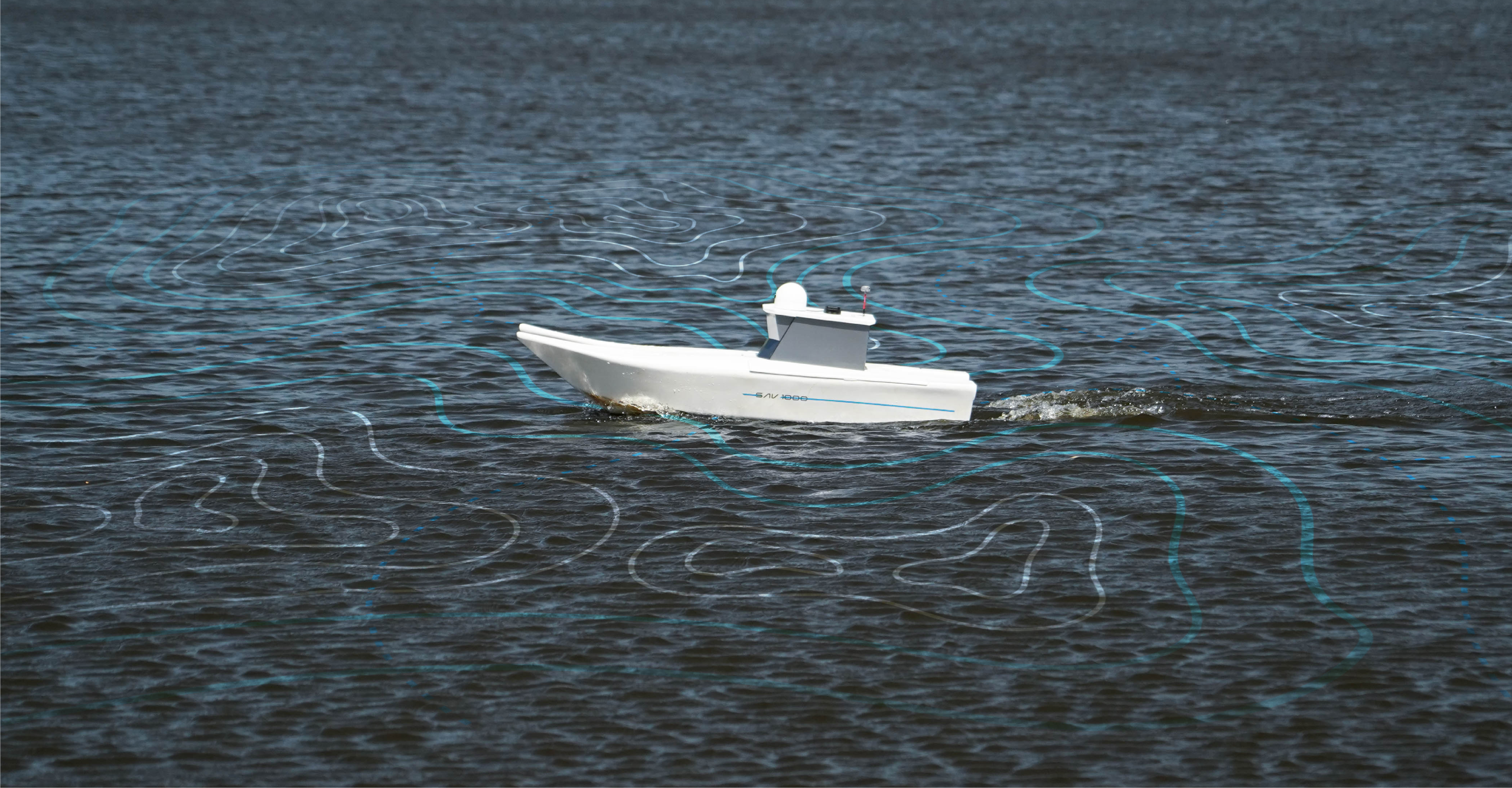

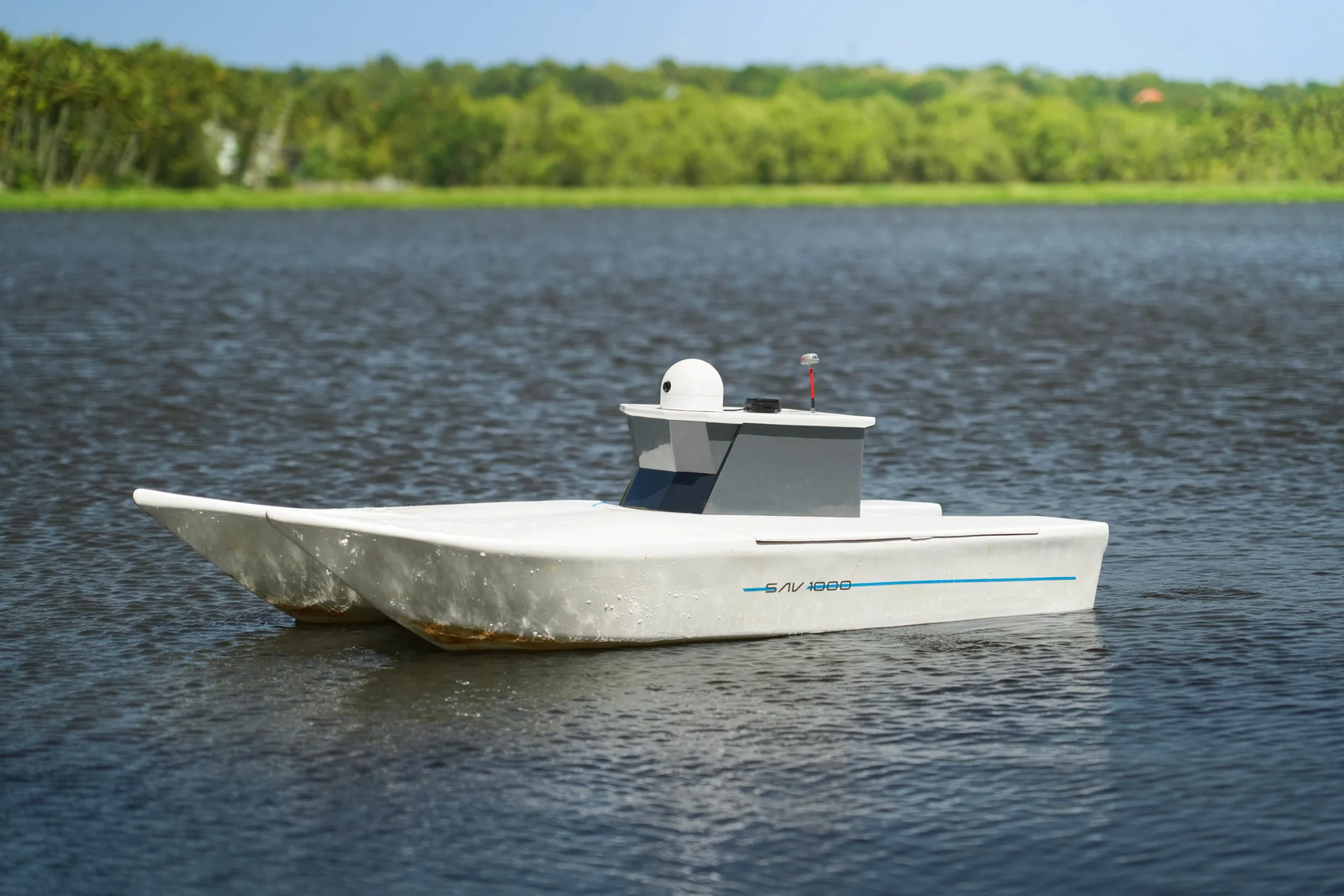
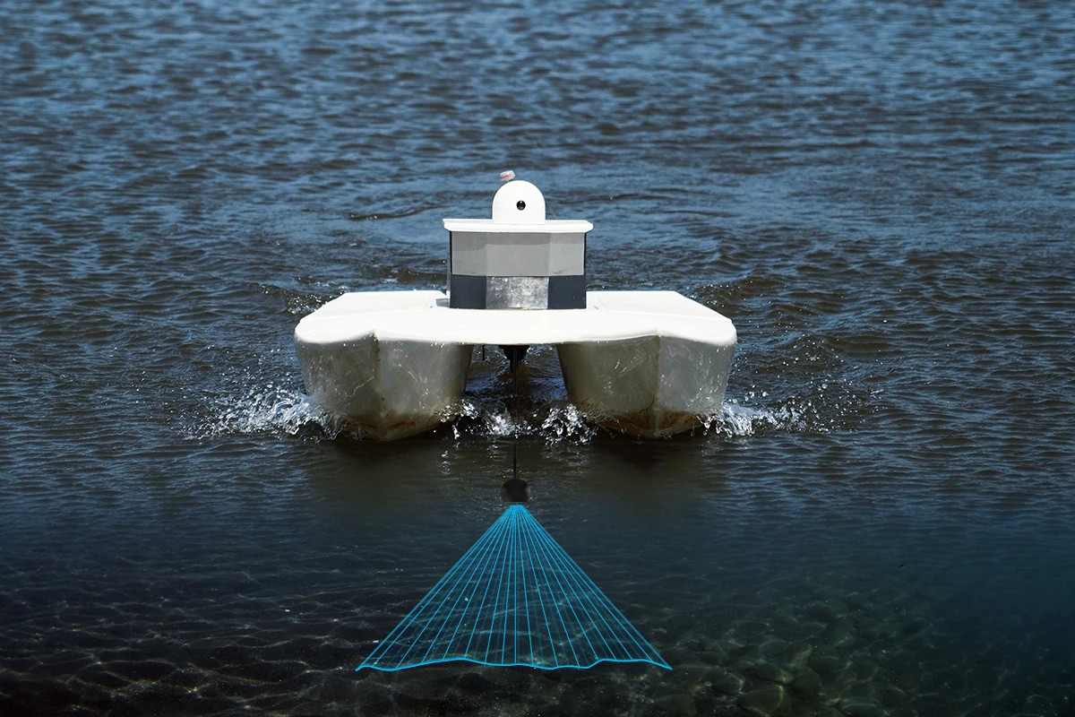
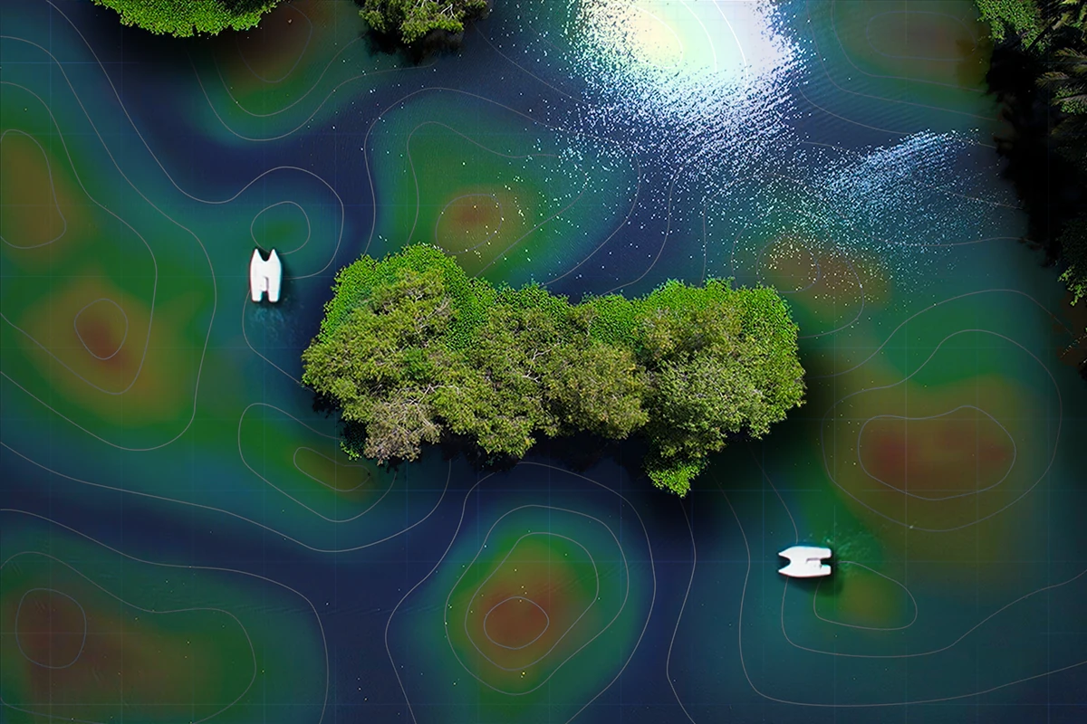
At SAVTOA, we specialize in state-of-the-art Hydrographic Surveying, powered by our proprietary SAV1000 Unmanned Survey Vessel. Engineered for high precision depth profiling and comprehensive water body analysis, the SAV1000 delivers highly accurate data with minimal human intervention. Integrated with our advanced Unmanned Hydrographic Software (UHS), this system enables Autonomous navigation, Intelligent route planning, Real-time monitoring, and seamless Data acquisition. Whether surveying reservoirs, quarries, lakes, or urban ponds, our fully automated solution ensures safer, faster, and more reliable operations—eliminating the risks and inefficiencies of traditional methods.
The SAV1000, paired with UHS, provides High-resolution Bathymetric data, environmental monitoring capabilities, and post-survey analytics that empower smarter decision-making in Water resource management, Infrastructure planning, and Ecological conservation. With SAVTOA, hydrographic surveying becomes not just unmanned —but Smarter, Cleaner, and Future-ready.
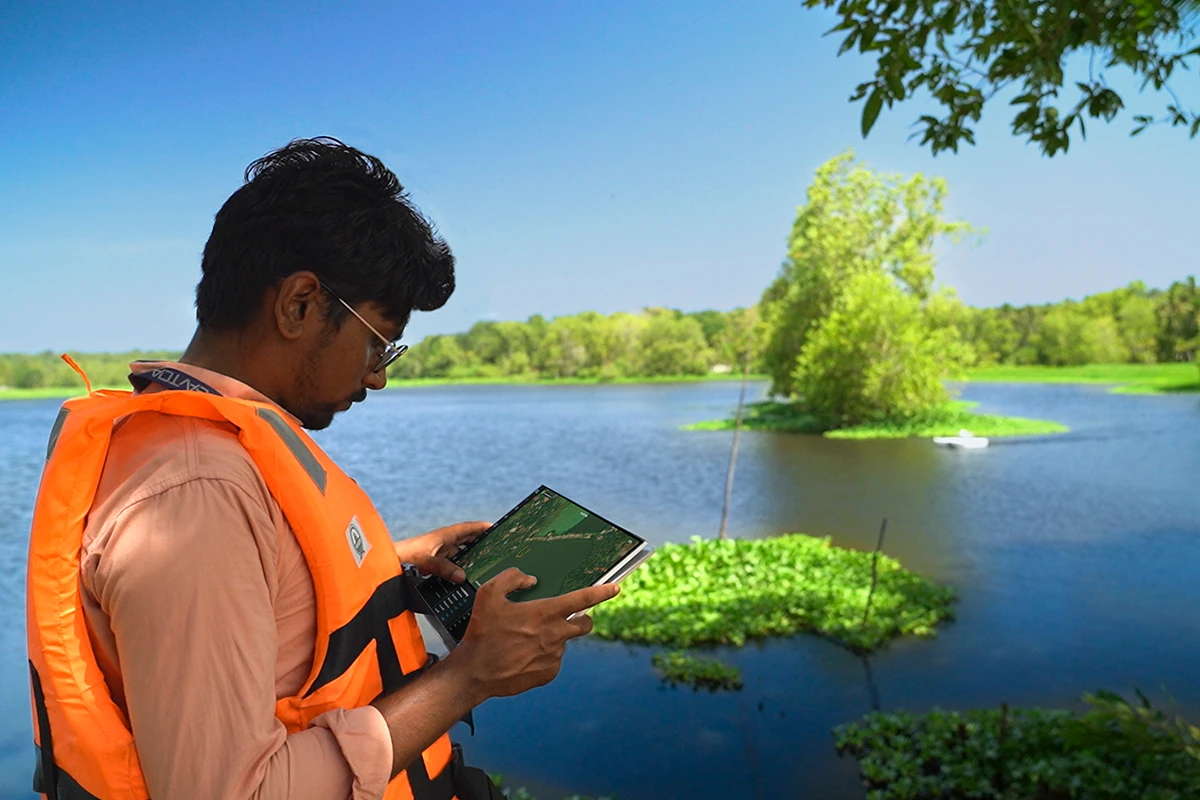
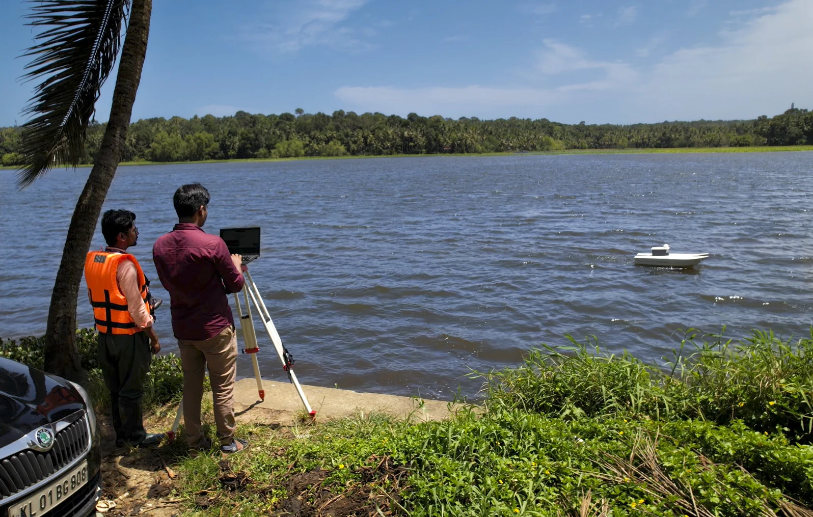
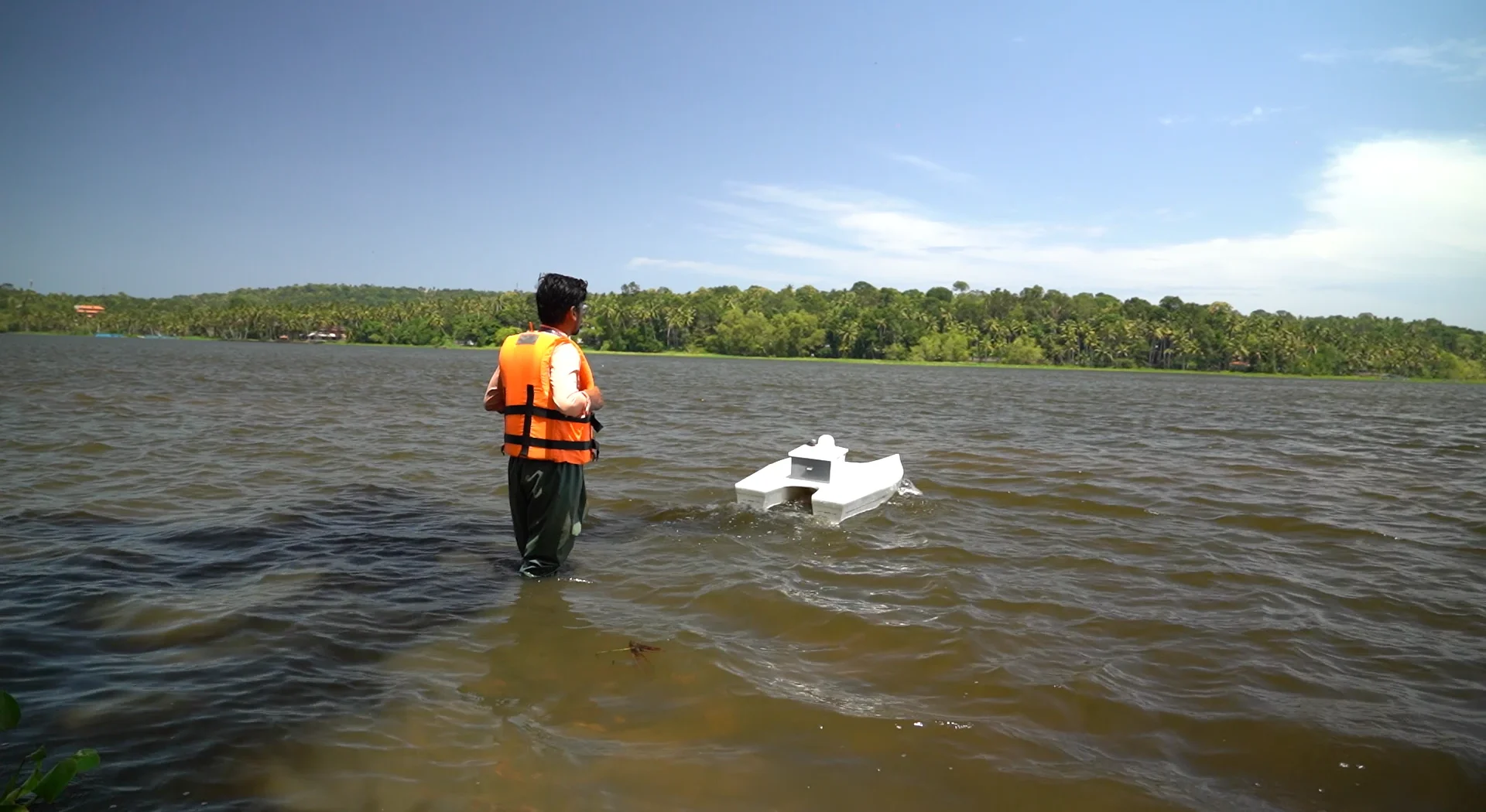
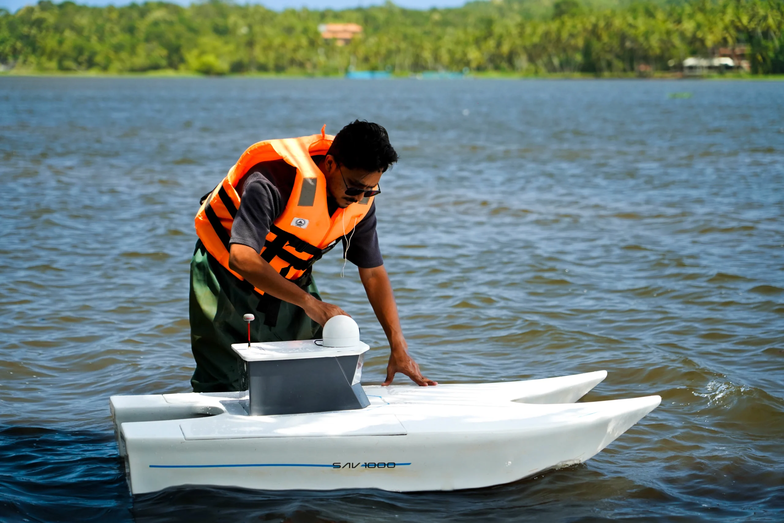
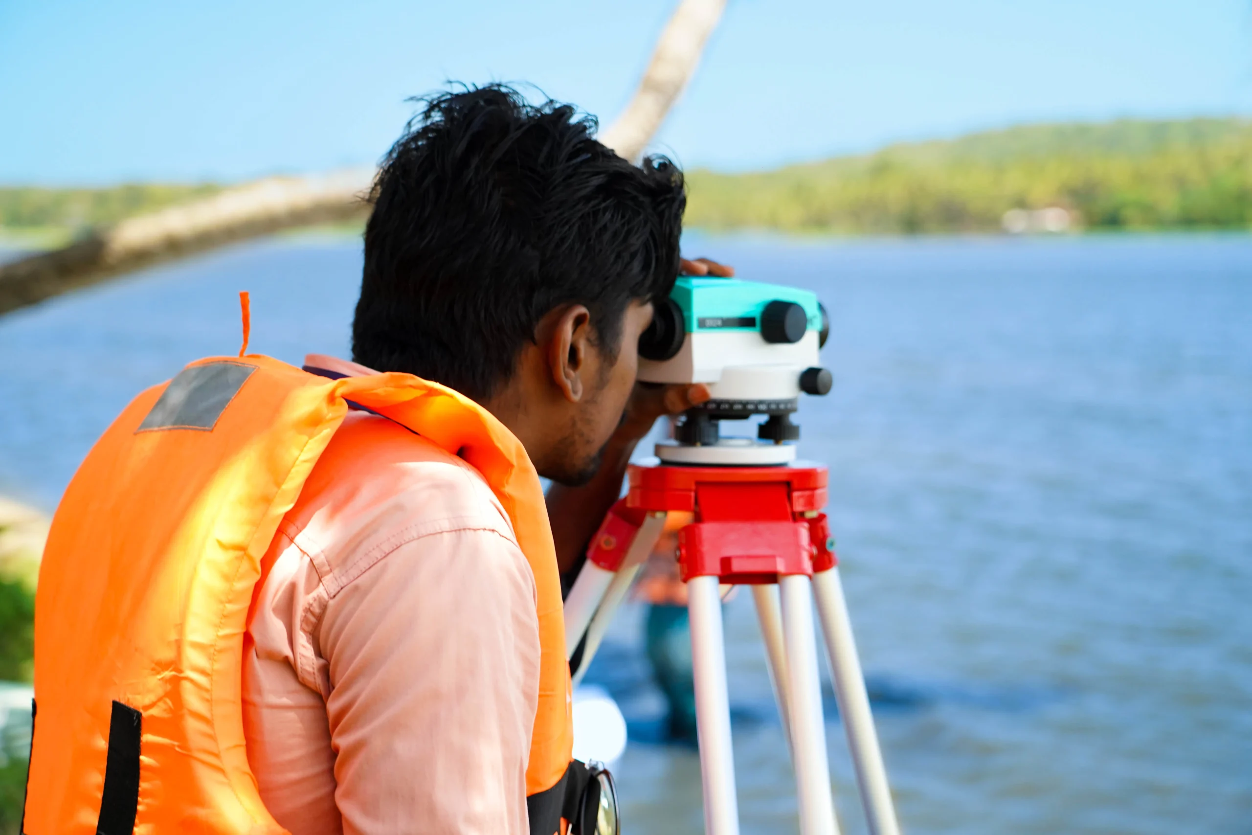
With extensive field experience we've successfully completed hydrographic surveys across diverse terrains and sectors.
Want to survey your water body with precision and efficiency? Reach out to us for a free consultation or quote.
Get a Quote